 On October 17, 2017, wenjoined the Natural History Society to discover the seabirds of Admiralty Inlet.
Preeminent bird biologist and delightful teacher Bob Boekelheide led our outing and emphasized the ecology and behavior of the local seabirds we observed.
He discussed how our location in Port Townsend relates to the birds’ annual cycles, why they’re here, what they’re doing, where they’ve come from, and where they’re going.
We surveyed the birds we found roosting at Point Hudson and swimming and feeding offshore. We then drove into Fort Worden to check for birds offshore from the Port Townsend Marine Science Center pier. We ended up at Point Wilson, also scoping offshore.
 We brought binoculars and scopes, snacks and drinks, and a Discovery Pass to park in Fort Worden. Ken at JLTnatural@saveland.org was the contact for location and meeting time.
 On September 27, 2017, the Natural History Society walked along the far west end of the Larry Scott Trail.
 We suggested bringing water, layers of clothing, hiking shoes, binoculars, and field guides. Michele at
 We then visited the Elwha River interpretive center, where murals and signage outline the history of human interaction with the Elwha River.
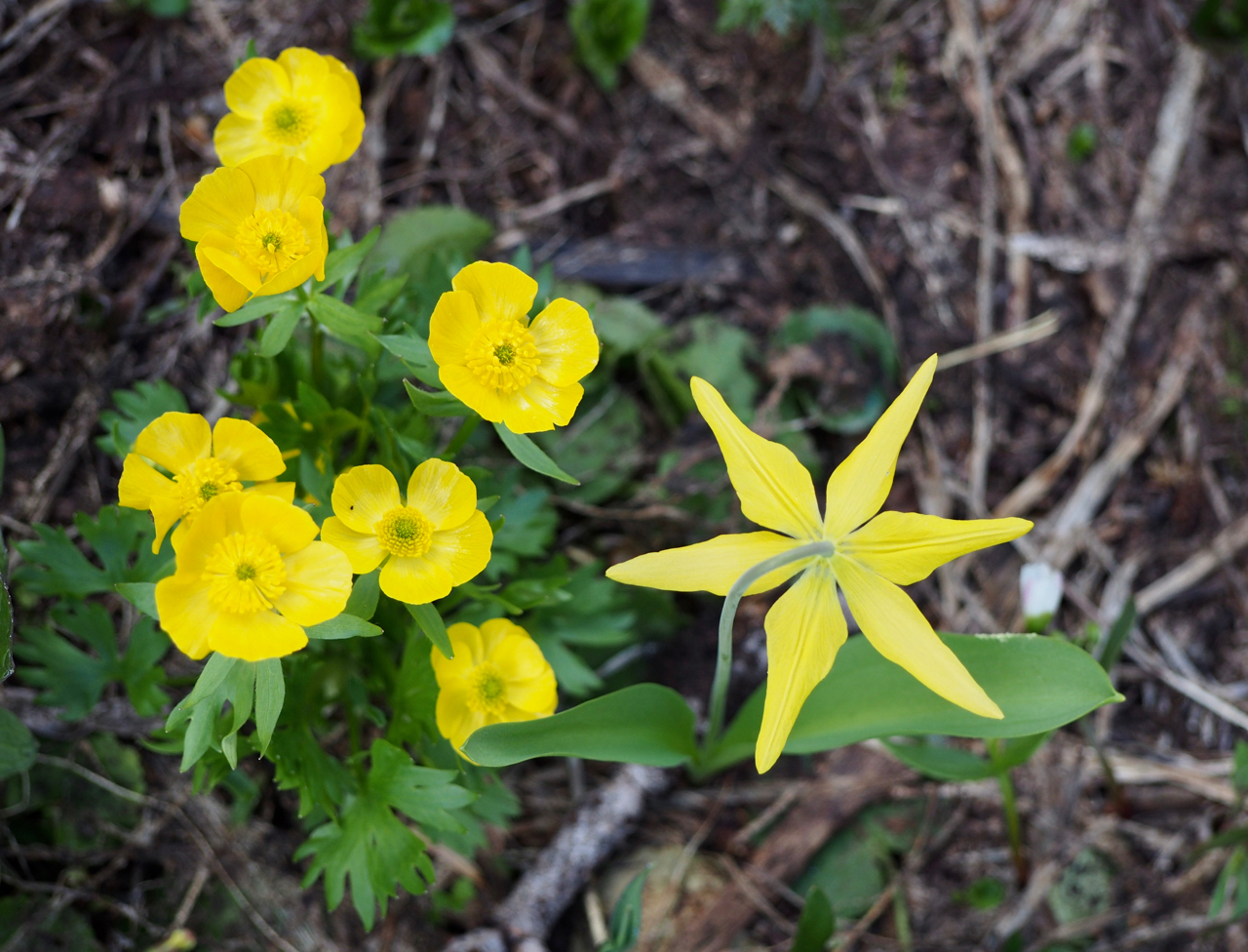 Members of the Natural History Society joined for a summer hike on July 11, 2017 to Hurricane Ridge with native plant buffs, Coca Sanchez and Dana Ecelberger. Coca and Dana are local landscapers, Rare Care volunteers, and graduates of the Land Trust’s first Northwest Naturalist course.
 We recommended: layers for temperature fluctuations, plenty of food and water, field guides, binoculars, hand lenses, hiking boots, hats, and hiking poles. A group of 12 or less was preferred, but we did not turn anyone away.
 While the trail continues another two miles, we stopped here. This is our lunch spot